We use the best methods available to provide the keenest cost depending on the type and condition of the site, topography, vegetation coverage etc. These methods include, but are not limited to, the following
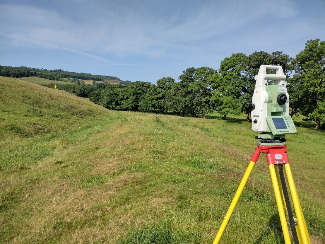
- Total Station or TPS
- Laser Scanning
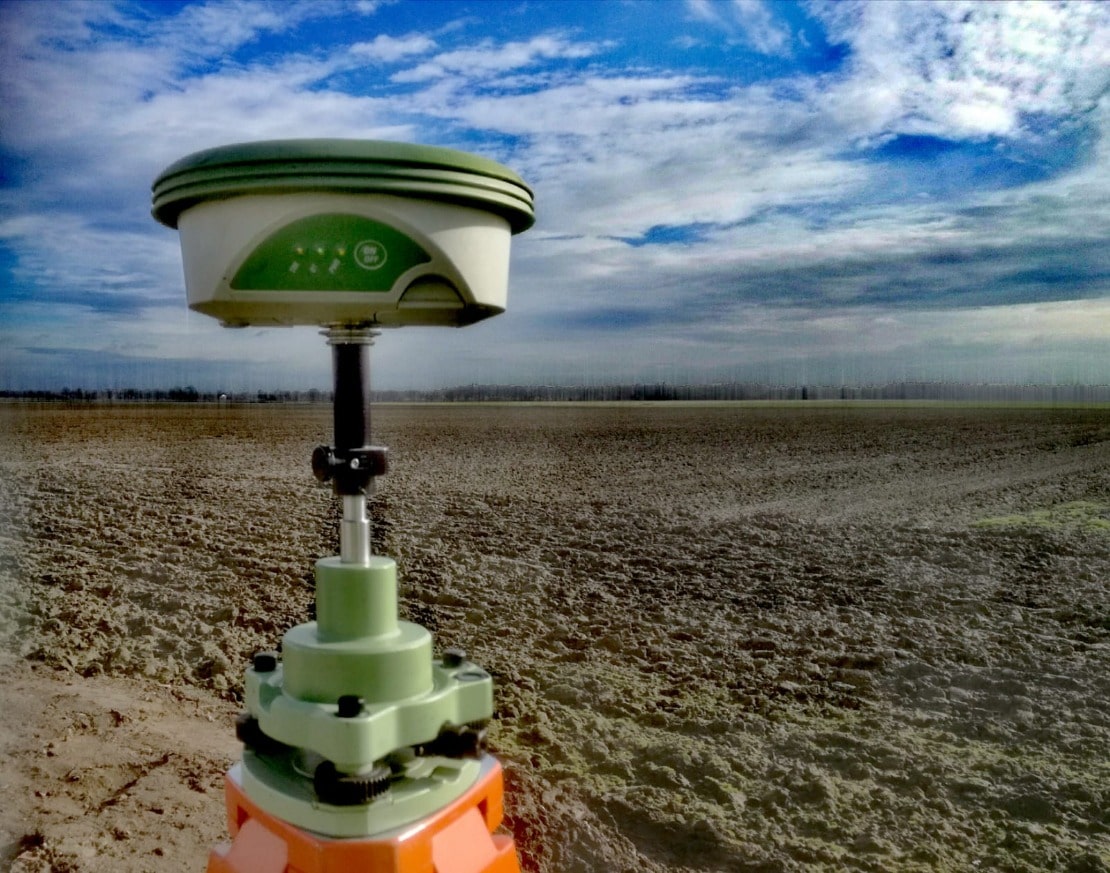
- GPS (GNSS)
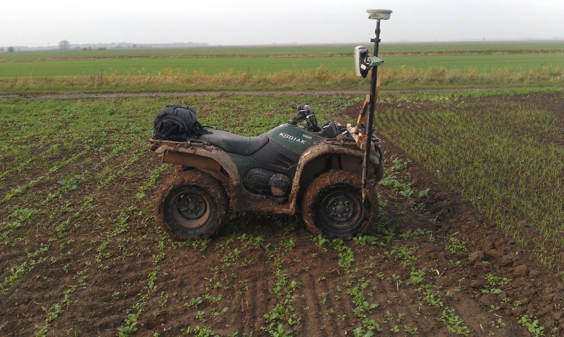
- Quad bike (large level surveys)
- Drones / UAV
- OS mapping / Lidar
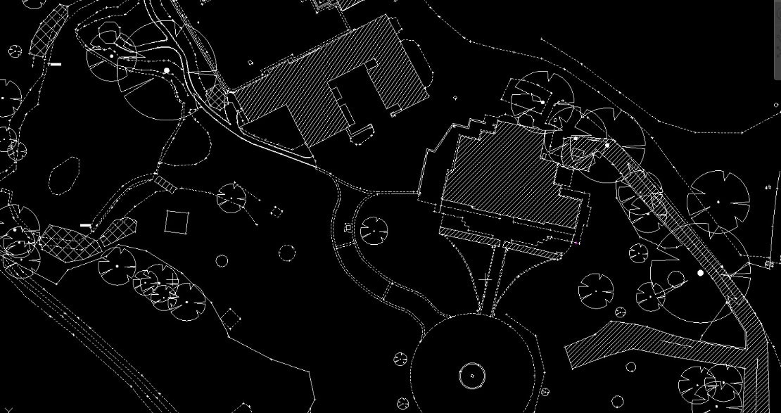
Whilst the primary requirement for topographical surveys is for architectural design through the planning system, our surveys are also used for
- Boundary disputes
- Land Registry compliant drawings
- Flood risk assessments
- Volumetric calculations
- Garden / Landscaping designs
Whatever your needs, we will be more than happy to discuss them with you.